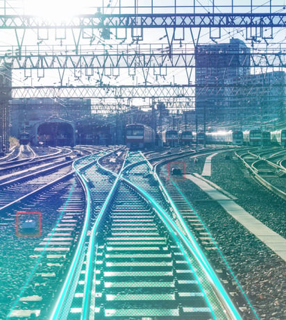
Automated inspection from capture to decision

Automated LiDAR & video inspections

Fragmented and resource-intensive rail inspectionsProblem description

Traditional infrastructure inspections often rely on manual field assessments, isolated surveys and disconnected datasets. This can lead to subjective results, long processing times and limited visibility across the network. Engineering and maintenance teams need a faster, more consistent way to identify changes, exceptions and potential risks.
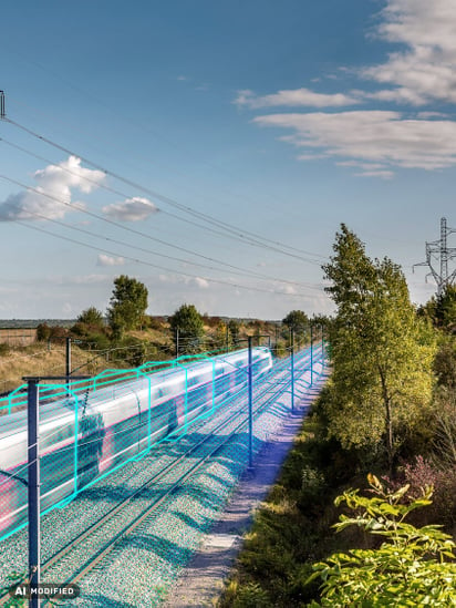
Continuous monitoring without heavy infrastructureOur Solution

Cordel transforms rail vehicles into infrastructure measurement trains. LiDAR, video and sensor data are captured automatically, processed by purpose-built AI models and managed in a single cloud platform. This provides a consistent source of truth for infrastructure conditions and enables teams to turn network-scale data into actionable insights.

Main features

Unattended data capture

Movement-triggered recording, automated upload and coverage management

Automated analysis

AI-powered evaluation of LiDAR, video and sensor data

Network-scale insights

Consistent and repeatable results across the rail network

Automated exception reporting

Faster identification and prioritization of relevant findings

Single cloud platform

Centralized storage, retrieval, indexing and access

Quality-assured outputs

Built-in QA, audit traceability and version control

Additional Features

  • Self-calibrating sensors and remote diagnostics
  • Low-maintenance hardware designed for harsh rail environments
  • Analysis of track centerlines, clearance and gauging, ballast profiles, vegetation encroachment, OLE height and stagger
  • Asset detection and change monitoring
  • Results delivered in days rather than months
  • Customer-specific AI models that improve with every capture
  • Self-service, on-demand assessments
  • API access for integration with existing enterprise systems
  • Reduced data-processing bottlenecks without additional headcount

A Wide Range of Applications for Our SolutionUse cases

  • Track centre line position (absolute accuracy +-50mm horizontally; +- 30mm vertically) (Automated extraction from Classified Point Cloud; CSV files include Latitude and Longitude)
  • Track geometry (configurable, typically every 1 metre granularity) (Automated extraction from Classified Point Cloud; Cant (superelevation) and Radius (versine))
  • Track spacing (gap between parallel tracks; typically every 1,5 or 10 metres) (AI applied to Classified Point Cloud; CSVs or Network Rail ‘Track Intervals’ format (SCX files))
  • Structure gauge analysis (LiDAR infrastructure profile/ DB reference vehicle - automated infringement detection Identifies structures (eg buildings, platforms) intruding into defined profile)
  • Track spacing between parallel tracks (Automated Horizontal and Vertical offsets between adjacent tracks)
  • Buildings and platforms – location and measurments ( CSV files every 1 or 5 metres, including track geometry (Cant, Radius) and Linear Reference System)
  • Platzform edge to track centreline distance (Continuous measurement – replaces manual surveys)
  • Ballast shoulder profile & width (3D cross-section analysis — continuous km-by-km baseline)
  • Height from top of Sleeper (Height measurement delta between Top of Sleeper and Ballast formation)
  • Granular volumetric Ballast Assessment (Determination of ballast surplus (exceedance) and shortage (deficiency) by volume (in m3) along track)
  • Contact wire – height (m) & lateral position (mm, left or right) (Automated extraction from Point Cloud)
  • Vegetation encroachment near OLE (AI classification detects encroachment within configurable bouding box)
  • Vegetation encroachment into track clearance zone (Automated detection — continuous monitoring, km-by-km reporting by position and volume (see also OLE vegetation encroachment))
  • Seasonal growth change detection (Run-on-run scan overlay identifies growth over time, reporting volumes along track)
  • Crossing surface geometry & profile ( 3D model detects elevation mismatch, drainage issues)
  • Sight line clearance (vegetation / structures) (LiDAR sight-line analysis to DB sight distance requirements)

Let’s move rail infrastructure forward

Would you like to learn more about our digital solutions or discuss a specific infrastructure challenge? Our team will help you identify the right technologies, services and applications for your requirements.

Stefan Distlberger

Head of Business Development Digitalization

Mobile: +49 1525 1652417

Contact
Contact us